Been at it for a few day and it's time to take a break. Sit back with a cold brew and type...
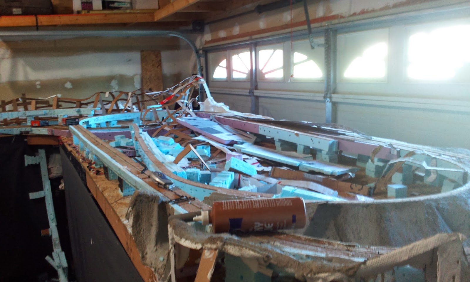
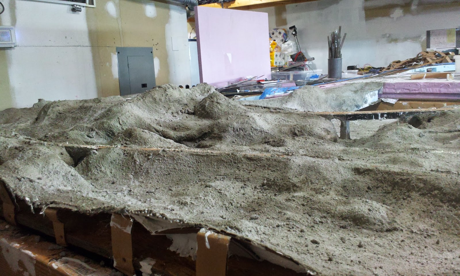
Roughing in the scenery on the eastern end of the AE took an abrupt turn this week. Construction turned to demolition when I realized the whole Q Company scenario wasn't gonna cut it. It cramped that end of the layout. It also made it well nigh impossible to deal with the triple crossing at Hollow Mountain. Lucky for me that the layout is styrofoam and cardboard. It's easy to make changes and the oversight can be removed in one piece...
 |
| Demolished East End |
 |
| Demolished Carbon Point |
 |
| Q Co Trashed |
The Q Co spline has already been recycled into other parts of the layout.
Removing the coal company's right of way sure simplified things. It opened up the area and allowed me to handle a number of issues with the tunnels under the mountain...
 |
| New Eastern End |
You can see by the revised plan that there is much more space between the AE right of way and the two track Class 1 (currently DL&W). I turned the Split River "west" and used it to separate the two railroads. It runs through a deep ravine somewhat like the Lehigh Gorge. Just like the Lehigh, the river banks are shared by two competing railroads. When the river makes a sharp turn around Hollow Mountain the railroads have to meet it head on and tunnel through.
The town in this area has also changed. The quarry now sits against the mountain. The foundry is now located farther east. The church, gas station, diner and depot are now between the two industries. With the coal company gone the town needs a new name. I'm thinking of calling it Blair Furnace. Kind of a tribute to the failed Pennsy layout.
East End is still East End with a simplified track arrangement. There is no town or industry here, just the interchange and engine facilities.
I'm still building the cardboard support structure on this side of the layout but the general features are roughed in...
 |
| Split River |
In the image above the view is west towards Hollow Mountain. Blair Furnace (formerly Carbon Point) is to the right of the AE mainline.
 |
| Looking East |
Looking back from the mountain you can see the ravine and Othir Mountain running along the right side. Can't actually build a mountain, it's an aisle, but I can suggest it exists. From the aisle you have to look over the base of Othir Mountain to see the trains.
I'm in the process of making Hollow Mountain taller. In some places it was just barely higher than the AE roadbed. I actually want it to tower over the trains. I'm raising the entire ridge along the Average side of the layout from Gateway to Clark's Summit...
 |
| New Ridgeline |
The new summit is just being added to the original by attaching longer vertical supports to the existing matrix. These new supports have "V" shaped cross section that stiffens them and allows them to stand on their own. It's a mere skeleton at present. I'll just keep adding supports and cross braces on 4" - 6" centers.
The Clark's Summit end has also been widened. During operations it was discovered that some curves were too tight. The Pennsy I1s (2-10-0) stalls or derails on the inner track at Hollow Mountain and Clark's Summit. I widened the right of way another inch, essentially creating a five track roadbed. All the tracks are moved an inch further out. This should increase the minimum radius and allow the long coupled locomotives to negotiate all the curves...
 |
| Clark's Summit Before |
 |
| Clark's Summit Now |
That's it for this entry. More to come.
Building a dream layout on a nightmare budget
|
|
The Average Eastern Railroad
|


